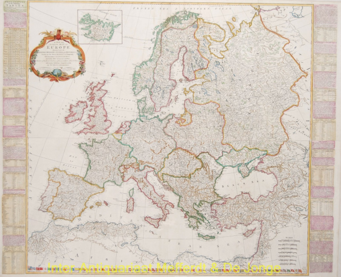
Scandinavia 1772
Kitchin
€ 1.650
Inter-Antiquariaat Mefferdt & De Jonge
- A proposito di opere d'arteGOOD OLD EUROPE - "A New and Accurate Map of Europe divided into its Empires, Kingdoms, States and Republics"?Gravure gedrukt van vier koperplaten vervaardigd te Londen door Thomas Kitchin naar het ontwerp van Robert de Vaugondy "˜Geographer to the French King', uitgegeven door Robert Sayer te Londen in 1772. Afm. ca. 100 x 123 cm Grote gedetailleerde kaart van Europa met links en rechts informatie over de verschillende landen. Over de Zeven Verenigde Provinciën het volgende: "Of these Provinces, the first that entered an Alliance for their common Safety, were Holland & Zealand, Anno 1576. Being driven thereto by the Cruel & Violent Usage they met with from the Spanish Government. The Example of these two Provinces drew severeal others to unite with them, so that in 1581, the Seven Provinces took up Arms against the Spanyards, under the Conduct of Maurice Prince of Orange, who retrieved the Affairs of the States, and forced their haughty Masters to acknowledge them a free & independent People. From such a small Beginning they are grown the most Powerfull Republic in the Universe."? [sic!] Onderaan 71 vlaggen van 's werelds zeevarende naties. Price: Euro1.650,- (excl. VAT/BTW, mounted on canvas)
Sei interessato ad acquistare questa opera d'arte?
Artwork details
Categoria
Related artworks
Artista Sconosciuto
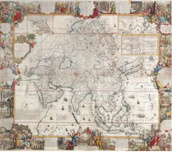
A large wall map of Asia by Nicolas de Fer 1647 - 1720
Prezzo su richiestaZebregs & Röell - Fine Art - Antiques
1 - 4 / 24- 1 - 4 / 12

